We provide accurate ground information throughsatellite application analysis.
WORLD LEADING SUPPLIER
We have the experience, the InSAR technology, the knowledge and the capacity.
We boost the innovation beyond basic satellite data processing.

Send us here a message and we will respond as quickly as possible.
Contact us for further information or quotes
InSAR measurements allow to obtain precision of between 3 and 5 mm.
We can carry out ground studies for any point of the land surface.
We can carry out terrain studies for any point on the earth's surface.
We have a team of highly qualified professionals with more than 20 years of experience in InSAR analysis.
We listen to our clients and advise them on the best technical solution to satisfy their needs.
We have historical data since 1992.
Building trust, protecting the planet, innovating together.
Geotechnical engineering
We offer our clients a 24/7 on-demand consulting service specialized in the analysis of operations advancement processes and data integration from different technologies.
We develop prediction models, based on research into the type of slope and slope instabilities around the linear infrastructures of mountain areas
We provide advanced solutions using satellite technology
Through our experience and dedication, we offer innovative, safe and sustainable services for communities and projects around the world.
- We help mitigate environmental risks
- We prevent accidents
- We optimize costs
- We anticipate any possible critical event
Industry sector
We provide our services to mining companies globally. We have extensive experience dealing with mining environments in multiple global locations. Our geotechnical expertise allows us to provide the optimal solution for every project and client needs.
We offer Ground Displacement Analysis from satellite imagery, following InSAR and other techniques. We have a geotechnical approach in our reports and analysis, we believe that it is not enough to simply deliver measurements to our clients.
We work with large clients in the mining sector, offering solutions fully oriented to their needs.
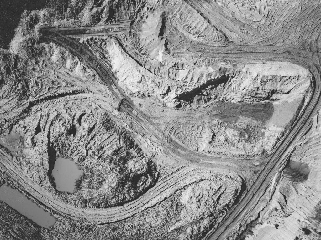
We provide ground deformation measurements with millimetric precision using Radar Satellite (InSAR) technology for construction projects and asset management.
Frequent monitoring and historical analysis of key infrastuctures for:

We provide millimetric ground deformation measurements using Radar Satellite (InSAR) technology to:
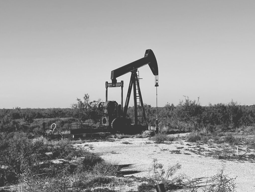
- Subsidence analysis for oil extraction processes
- Measurements of deformations for natural gas injection and extraction processes
- Monitoring of linear infrastructures: gas and oil pipelines
- Deformation measurements for identification of reservoirs
- Frequent monitoring of key infrastructures such as: lng plants, refineries and tanks
- Frequent monitoring to avoid environmental damage
Our clients
IN INERSIA
We always seek to incorporate highly qualified professionals with experience in remote sensing, civil and mining engineering.

Send us here a message and we will respond as quickly as possible.
Contact us for further information or quotes
- Soluciones
- Geotecnia
Corporate
Specialized
Portfolio
- Industria
- ARDA 3D MAPS (Visor 3D De Inersia)
- Sobre Nosotros
- Contacto / Trabaja con nostros